
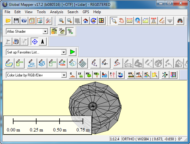
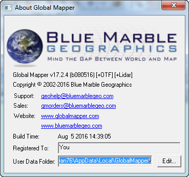
Global Mapper 17.2.4 Build 080516
Global Mapper - приложение, позволяющее просматривать, конвертировать, преобразовывать, редактировать и распечатывать различные карты и векторные наборы данных. Графические данные могут быть загружены в качестве слоев или как отсканированная топографическая карта для 3D изображения местности. Может работать в реальном времени, загружая данные с GPS-приёмника. Global Mapper поддерживает множество форматов, имеет большое количество инструментов и опций. Может рассчитывать расстояния между объектами.
Основные возможности:
- Поддержка просмотра основных форматов данных
- Прямой доступ к DigitalGlobe, TerraServer-USA, WMS и другим источникам
- Поддержка просмотра 3D ландшафтов
- Обрезание, перепроектирование и слияние любых комбинаций растровых данных и данных возвышенностей
- Оцифровывание новых векторов с возможностью их перемещения
- Совместимость с GPS устройствами через компьютерный серийный порт или USB порт
- Поддержка конвертации между большим списком проектных систем и исходных данных
- Экспорт в векторные и растровые данные
- Графическое исправление любых JPG, TIFF или PNG изображений и сохранение результатов в новое изображение
- Создание контуров для любых комбинаций данных возвышенностей
- Загрузка и отображение JPG изображений со встроенными EXIF данными о позиции
- Поддержка NASA World, Google Maps, Virtual Earth
- И многие другие возможности
Изменения в версии 17.2:
- An update to the Map Layout functionality for designing a PDF Map Book that applies the same layout to multiple pages
- Support for saving multiple map layouts in a workspace
- Support for macros in the text element so that the element text can include the projection, scale, date, and time and improved flexibility of grid overlay
- A new feature in the 3D View to render a path profile as a cut-away of the terrain
- Support for pan sharpening color imagery using higher resolution panchromatic (grayscale) imagery
- A new option when creating Global Mapper Package (GMP) files to save imagery layers in JPEG 2000 format, significantly reducing the file size
- Downloading or streaming imagery through a WMS now includes the option to define the extent of the data to a selected area or polygon
- FLOW_ANGLE attribute added to flow direction points created during Watershed Analysis
- When importing a PDF, the DPI at which to display the file can now be selected
- Improved import speed of text-based file formats
- A new tool for performing an inverse crop in a raster layer, allowing a hole to be easily created in the imagery
- An update to the Quick Point Creator to allow faster point creation by skipping the Feature Edit dialog
- Dramatically faster export of multiple tiles to raster (image) formats
- Support for loading ENVI .ima multi-band imagery layers
- Support for creating a distance/bearing/COGO line using the IMPORT_ASCII command
- Reduced memory requirements and increased draw speeds for Lidar point clouds loaded from text-based formats (.ply, .xyzi, etc.) as well as MrSID Lidar formats
ОС: Windows Vista (32 и 64-бит), Windows 7/8/10 (32 и 64-бит), и Windows Server 2003/2008/2012.
Скачать программу Global Mapper 17.2.4 Build 080516 x86 (106,05 МБ):
Скачать программу Global Mapper 17.2.4 Build 080516 x64 (117,64 МБ):

tolyan76 16/08/16 Просмотров: 9396
+2