Global Mapper 17.1.1 Build 030416

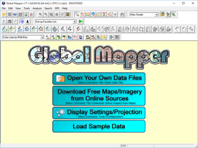
Global Mapper - приложение, позволяющее просматривать, конвертировать, преобразовывать, редактировать и распечатывать различные карты и векторные наборы данных. Графические данные могут быть загружены в качестве слоев или как отсканированная топографическая карта для 3D изображения местности. Может работать в реальном времени, загружая данные с GPS-приёмника. Global Mapper поддерживает множество форматов, имеет большое количество инструментов и опций. Может рассчитывать расстояния между объектами.
Возможности программы:
- Поддержка просмотра основных форматов данных
- Прямой доступ к DigitalGlobe, TerraServer-USA, WMS и другим источникам
- Поддержка просмотра 3D ландшафтов
- Обрезание, перепроектирование и слияние любых комбинаций растровых данных и данных возвышенностей
- Оцифровывание новых векторов с возможностью их перемещения
- Совместимость с GPS устройствами через компьютерный серийный порт или USB порт
- Поддержка конвертации между большим списком проектных систем и исходных данных
- Экспорт в векторные и растровые данные
- Графическое исправление любых JPG, TIFF или PNG изображений и сохранение результатов в новое изображение
- Создание контуров для любых комбинаций данных возвышенностей
- Загрузка и отображение JPG изображений со встроенными EXIF данными о позиции
- Поддержка NASA World, Google Maps, Virtual Earth
- И многие другие возможности

ОС: Windows Vista (32 и 64-бит), Windows 7/8/10 (32 и 64-бит), и Windows Server 2003/2008/2012.
Что нового в версии 17.1:
- Significant New Features
- New tool for creating multiple perpendicular profiles along a defined path and for easily cycling through these profile views perpendicular to the original path
- Display of the Path Profile in the multi-view layout allowing the simultaneous display of 2D, 3D and Profile views in the same interface
- Filtering function to determine which layers are displayed in each 2D map view in the multi-view interface. For instance, one view might be used to display aerial imagery for a project location while the adjacent map shows a gridded terrain layer for the same area
- Option to save the multi-view layout in the workspace. Each time the workspace is loaded, the preconfigured multi-view display will be recreated
- New attribute management function for creating Feature Templates. Templates offer a predefined list of attributes for a layer with pick lists for faster and more accurate attribute entry when collecting data in the field
- Map Layout improvements including grid display, custom map scale options, and export to geospatial pdf
- Export function for saving Search results in CSV format
- Improved display for high-resolution monitors
- Support for Geographic Calculator 2016 with using GeoCalc mode for projection management
- Support for batch converting data to ADRG and ASRP format files
- New LiDAR Module Features
- New Custom Feature Extraction Tool including ability to manually select a series of points as part of a custom area or line feature for extracting it to a custom geometry. Feature vertices are placed while cycling through the profile views resulting in precise 3D line or area features such as road edge and curb lines, powerlines, and buildings
- New Toolbar button for quickly and easily assigning the Ground classification to selected points
- Added support for editing which classification groups a Lidar class belongs to
Скачать программу Global Mapper 17.1.1 Build 030416 x86 (159,00 МБ):
Скачать программу Global Mapper 17.1.1 Build 030416 x64 (159,63 МБ):

